Quick Review: From Crestwood in the Campo Indian Reservation, Old Highway 80 veers south of present-day Interstate 8 heading towards Jacumba Hot Springs.
Original Bankhead Highway
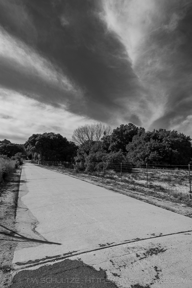
There is a small stretch of road that veers from Old Highway 80 past Boulevard. While it too is labelled as part of the highway, it pre-dates it. This Section dates to 1915 as part of the Bankhead Highway.
The road is quite narrow and it would be difficult to accommodate two passing modern vehicles. The concrete is in remarkably good shape. Some homes still access this small road to reach their properties.
Bankhead Springs Hotel
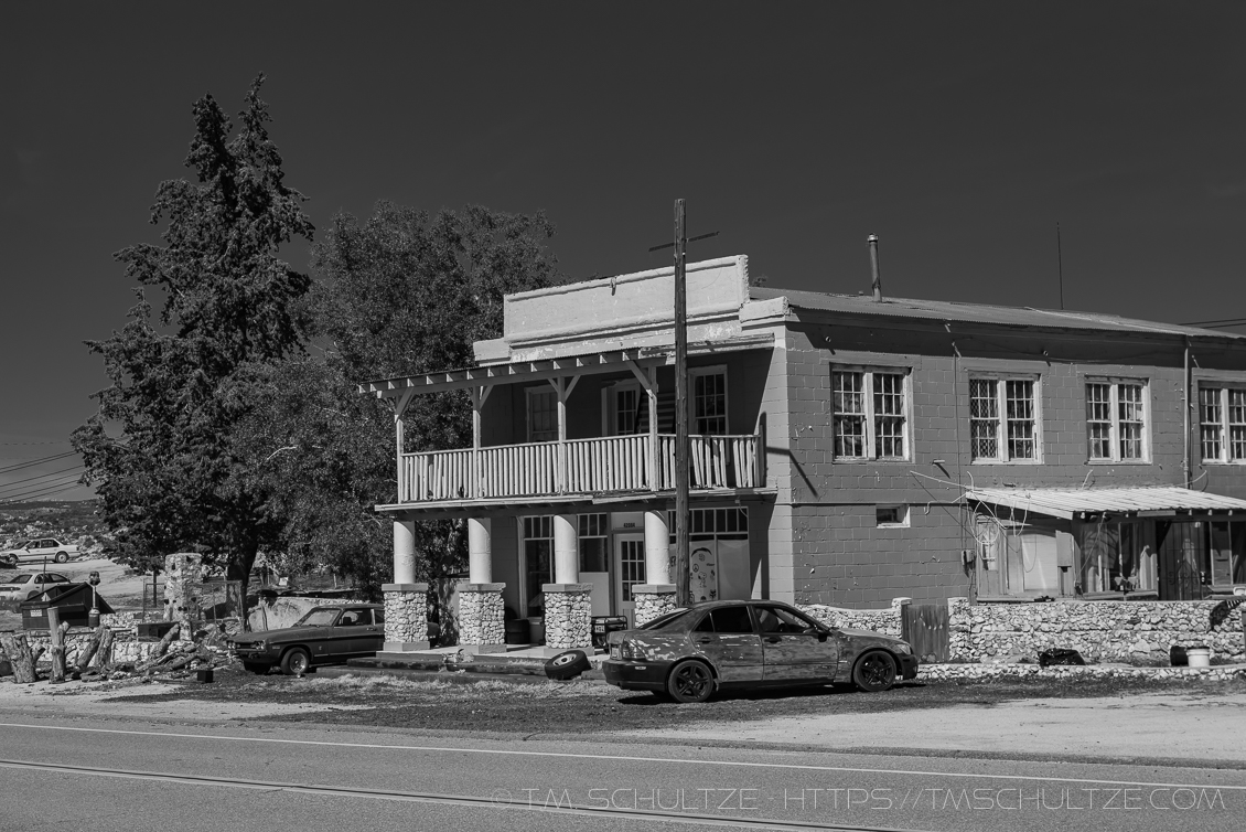
At one time, Bankhead Springs was a suburb of Jacumba Hot Springs. Regular traffic on Route 80 allowed for a hotel to be built. It is easy to imagine that if this area had not been bypassed by Interstate 8, more businesses in the area would exist.
There is not much to Bankhead Springs besides private properties, a recycling business, some ranches, and the hotel.
The hotel is now a private property, so only take pictures from outside, and preferably from across the street.
Jacumba Railway Bridge
Original 1917 Track
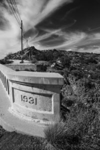
C Block Marker
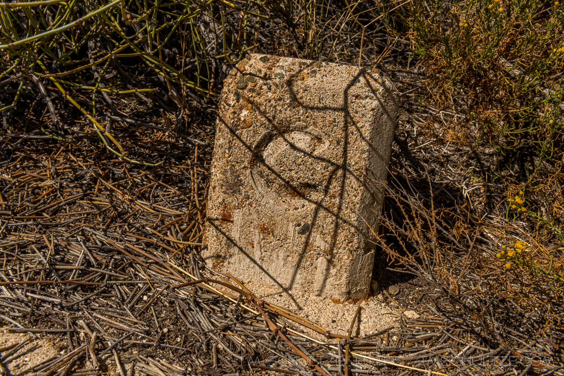
Between Boulevard and Jacumba, there are several older sections of Bankhead Highway that pre-dated Old Highway 80. In one section, near the “1931” bridge, a very rare “C Block” survey marker is still present.
Jacumba Hot Springs
In-Ko-Pah Park
Old Highway 80 enters In-Ko-Pah Park, famous for the Desert View Tower. Interstate splits the road in this area. There is a small stub in this year from Interstate 8 that ends right at the Desert View Tower. Only small remnants of the original road remain past the tower.
From Jacumba, Old Highway 80 heads closer to present-day Interstate 8 new the Desert View Tower. Much of the original highway was removed when the Interstate 8 grade into Mountain Springs was built. The highway in Mountain Springs has two tracks, an original as well as a rebuilt segment, which can be easily viewed from Interstate 8. This section is now private property, so photographing this section would be trespassing.
Mountain Springs

Mountain Springs
If you exit at the Mountain Springs and Interstate 8 interchange, you can view segments on both sides. Turn right, and you can view the two segements and photograph them up to the private property fence. Turn left and in between the west-bound and east-bound lanes, you can see the highway as it descends to the desert. Interstate 8 surrounds this section on both sides. West-bound traffic follows Devils Canyon, which was not used by Highway 80. East-bound traffic follows Myer Creek Canyon, which Highway 80 used to reach Ocotillo.
Interstate 8 was cut in where Highway 80 ends at a cliff. Most of this section to the Millers Garage area West of Ocotillo is a broken segment. While Interstate 8 takes a large cut through the canyon, Highway 80 followed the canyon contours. Thus, in several sections, you can see old broken segments up and down the canyon as you descend the Interstate.