Now that I have more time to get out and hike after work, I was thinking of a few places in my neighborhood of Santee. Unfortunately, the West side of Mission Trails Regional Park that I like to hike is mostly off-limits during the weekdays, so I picked a weekend to get out and explore.

Mission Trails Regional Park – A Place For Sewage
The “Mission Trails Flow Regulatory Structure II” (whatever) project continues, and is still an awful eyesore in the chaparral. It has been delayed, which may impact the ability to get around here during wildflower season. But what started as a hopeful rain season has now gone back to the all-too-familiar drought, and I suspect there won’t be too many to see this Spring.
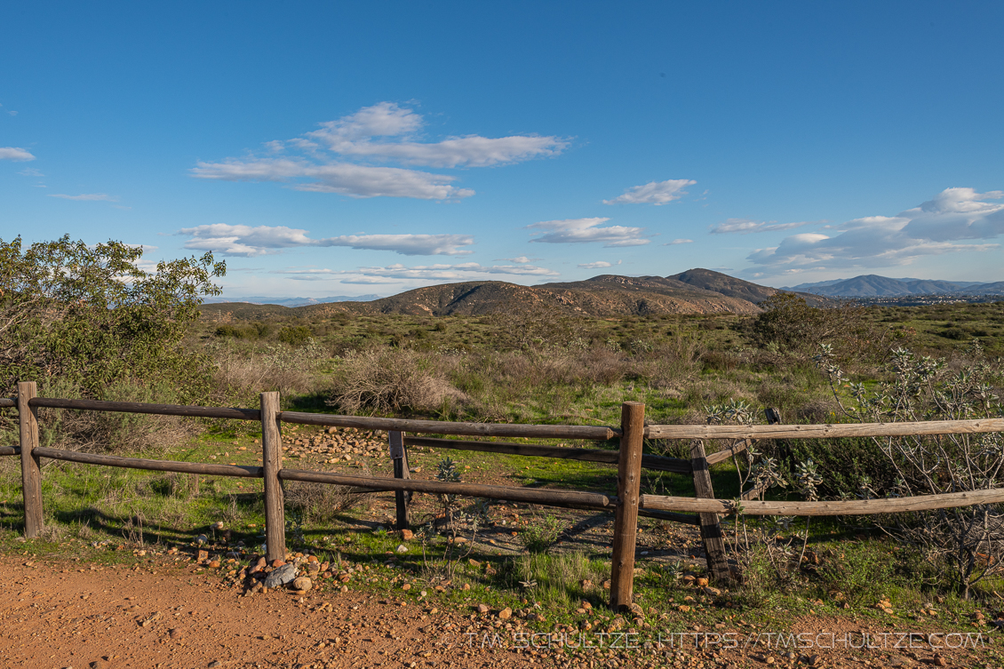
Still, being out on the mesa top and able to see everything from North Fortuna Mountain to Cowles Mountain in the South is always quite nice. Temperatures have been nice and pleasant, albeit a little cold (for Southern Californians…).

The trails here were quiet, and most of the people I saw appeared to be regulars and folks who live in the neighborhood. Only one did I encounter two extremely loud extroverts having a conversation at a volume that I think would hurt my eardrums. Why do people go out in nature and do this?

Oblivious Hiking
I had another moment that I enjoyed coming down the Sycott trail. I saw a group of people hiking North along the trail that at one time was supposed to be Mission Trails Parkway, extending from Jackson Drive all the way to an interchange at the 52 freeway. Why do planners think gashing mostly-undisturbed land with a 4-lane road is cause to call it a “Park” way?
As the group moved North as I was halfway down the rim, I spotted a coyote. I know the wildlife photographers will be disappointed I didn’t have a 600mm lens to get an image of him standing there, but as I have said before, I have been getting more value out of observation.
The coyote was obviously sensing the presence of humanity moving his way, and he moved quickly North, off the trail, and into the brush. He either continued on his way, or simply waited for the threat to pass. It occurred to me that the group hiking were oblivious to his existence, but he was clearly aware of them. We humans do that, make a loud announcement of our place, and expect everything else to clear the way.
We photographers are not immune to this. So many times, so, so, so, many times, we spend so much energy on trying to compose the perfect image, and we don’t spend enough time just enjoying being outside.

Further Viewing
T.M. Schultze Fine Art America Print-On-Demand Store
T.M. Schultze is a San Diego-based photographer, traveller, and writer. He writes, photographs, and draws things of the outdoors that have inspired humans for thousands of years. He co-authored the Photographer’s Guide to Joshua Tree Park which can be purchased here.
I get quite annoyed with loud-talkers spoiling quiet moments, but I figure the price that has to be paid for living near “civilization.” Whenever a coyote is spotted around here – it’s broadcast on social media like an air-raid siren – GET YOUR KIDS AND PETS INSIDE! 😆
Sounds familiar! Haha