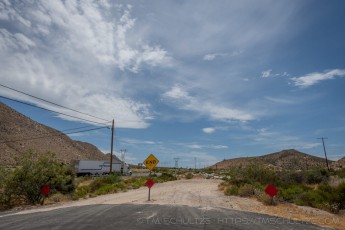
OH8062 is a photograph by T.M. Schultze taken 2020 at In-Ko-Pah Park, California
OH8062 by T.M. Schultze
OH8063 is a photograph by T.M. Schultze taken 2020 at In-Ko-Pah Park, California
OH8063 by T.M. Schultze
OH8063 is a photograph by T.M. Schultze taken 2020 at In-Ko-Pah Park, California
OH8063 by T.M. Schultze
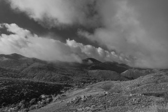
EC5 is a photograph by T.M. Schultze taken at ,
EC5 by T.M. Schultze
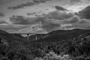
PVB2 is a photograph by T.M. Schultze taken 2018 at Cleveland National Forest,
PVB2 by T.M. Schultze
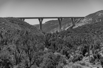
PVB1 is a photograph by T.M. Schultze taken at Cleveland National Forest,
PVB1 by T.M. Schultze
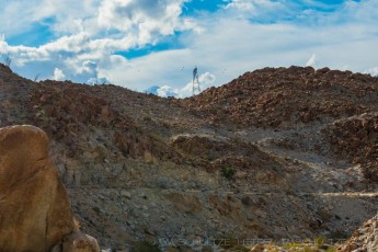
Myer Creek Ruins is a photograph by T.M. Schultze taken at Ocotillo, California
Myer Creek Ruins by T.M. Schultze
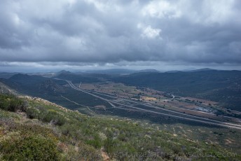
EC337 is a photograph by T.M. Schultze taken 2014 at San Diego County, California
Overlook of Interstate 8, Old Highway 80, Buckman Springs Road, Old Buckman Springs Road, and Sheephead Mountain Road, in San Diego County.
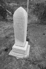
OH80108 is a photograph by T.M. Schultze taken 2014 at Buckman Springs, California
Gravesite and Tombstone for Amos Buckman. Legend, true or not, has it that his grave was accidentally uncovered when Interstate 8 was being built in Buckman Springs in the 1970s, and this was then created for him. Many people photograph (and graffiti) his Bottling Plant and his home, even if they don't know who Amos Buckman was, but few take the time to locate his tombstone. While not directly on Highway 80, it is very close and important to the history of the highway.
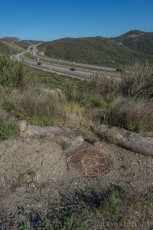
OH8086 is a photograph by T.M. Schultze taken 2013 at Descanso, California
This is at the end of the Wildwood Glen section of Old Highway 80. Interstate 80 was built to the South, and also cut out the "Deadman's Curve" section of Route 80, which is why the road dead-ends here. Below is an old Bell telephone manhole. Modern fiberoptics, natural gas, and other infrastructure still follow the original Route 80 right-of-way.